By Jeremy Ruben, Founder of LANDOVA Design & Planning · October 14, 2026
Your outdoor project begins at the house. The back door determines where people step outside. A wall projection can narrow a walkway. Windows influence views, privacy, and where a taller feature may feel appropriate. These connections are easy to overlook when the house appears on a plan as a simple rectangle.
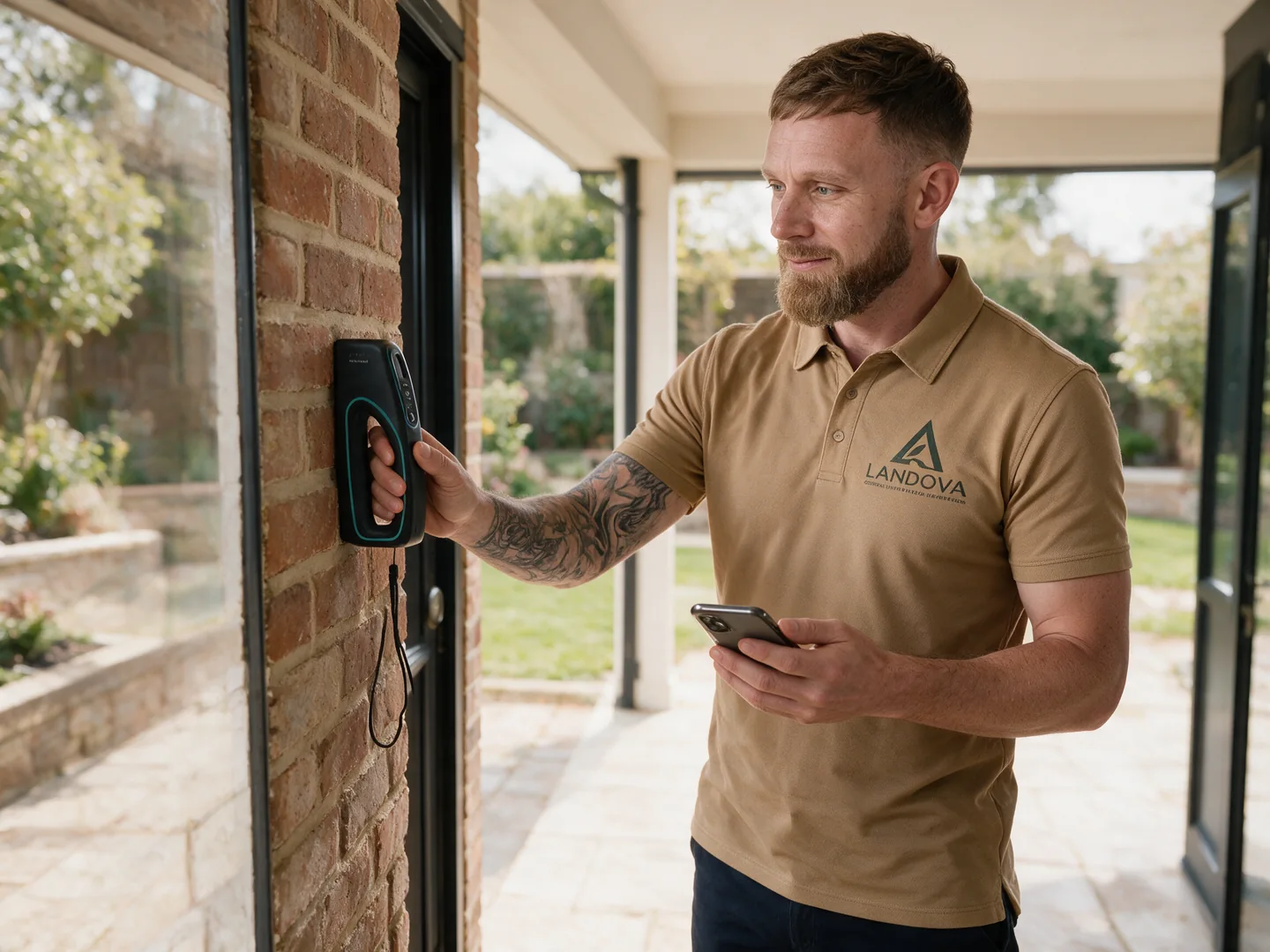
LANDOVA uses Moasure LX1 to help document the building geometry that outdoor design depends on. Its role is to give the house a clear, measured place in the site plan, so the yard and the home can be considered together.
What a house footprint tells us
A footprint is the building's outline viewed from above. It shows where exterior walls change direction and how projecting or recessed sections affect the available space around them.
That outline creates reference points for the outdoor layout. A patio might align with a particular wall. A path may need to clear a projecting corner. An outdoor kitchen may sit within a space that looks generous until the door opening and daily walking route are considered.
Having those relationships in a measured drawing lets us test the layout against the house that is actually there. Existing plans can provide useful background, and a site visit lets us compare that information with current conditions.
How LX1 records the building
LX1 is a handheld measuring device designed for floor plans and building footprints. It uses motion sensing, with an integrated laser supporting its measurement system. For exterior footprint capture, Moasure describes placing the device against successive walls to build the outline.
Its user guide explains how wall measurements work: move between walls, place the device flat against the surface, and hold it still while a point is captured. The app calculates adjoining corners from the recorded wall planes. Accessible wall sections can therefore be useful even when a corner is awkward to reach.
As with the rest of our site evaluation, deliberate technique and review matter. We need a drawing that makes sense in relation to the property, along with clear notes about the features that affect your project.
The details beyond the wall outline
Moasure documents support for recording door and window positions, as well as ceiling heights and other floor-plan features. Which details LANDOVA captures depends on the agreed outdoor project scope. A full interior floor plan is not automatically necessary for a backyard design.
For an outdoor project, the most useful questions often sit right at the connection between inside and outside:
- Where do people leave the house and enter the yard?
- Which doors need a clear opening and a comfortable landing area?
- Which windows overlook the proposed outdoor space?
- Where do wall offsets or existing covered areas change the layout?
Those observations give the measurements a purpose. We can discuss how you will use the space while looking at the same features that will shape the drawing.
Three decisions a measured footprint can improve
Placing a patio where it feels connected
Imagine a patio that looks balanced in an overhead sketch but requires an awkward turn immediately outside the back door. Mapping the wall and door relationship early allows us to explore a more natural arrival area. We can then consider furniture placement and the route through the patio together.
Keeping a side passage useful
A wall projection, an existing bed, and the route to a gate can compete for the same narrow space. A measured building outline helps reveal how much room the design has to work with. That makes it easier to compare a wider path, a smaller planting area, or a different arrangement before selecting finishes.
Planning around a covered area
An existing covered patio may become the starting point for a larger outdoor room. Its relationship to the house needs attention, including openings, supports, and relevant vertical clearances. LX1 can support ceiling-height capture where the measurement setup is appropriate; other details may need separate field checks.
These observations help develop the concept. Structural connections, roof changes, and construction requirements still need the appropriate professional review when they are part of the project.
Carrying the information into the design
LX1 drawings can be exported in CAD formats or shared as PDFs. For LANDOVA, that means measured building geometry can move into the design workflow without first reconstructing every wall from a handwritten list.
We still reconcile that drawing with the rest of the site information. The house footprint, yard measurements, photographs, and elevation observations need to describe one property consistently. A wall outline alone does not explain the slope beyond it or every condition around a foundation.
This is where the combination of tools matters. LX1 focuses on the building, while our other site-capture methods help describe the outdoor spaces around it. The design brings those pieces together around your goals.
More time for useful choices
When the person developing the plan also sees the site and collects its measurements, there is less room for a disconnected handoff. We can notice an awkward doorway relationship, check a questionable dimension, or record a relevant detail while we are there.
Digital capture can reduce repetitive drawing and help limit return visits caused by missing information. That is part of how LANDOVA works to keep planning fees accessible: use technology to reduce avoidable effort while giving the project the attention it needs.
For the homeowner, the goal is a design that feels connected to everyday life. A measured house footprint helps us make the transition from your home into your yard intentional, so you can evaluate the layout with a clearer understanding of how it will work.
How the four technologies work as one process
The drone provides an aerial picture of visible features. Ground measurements add elevations and checks. Moasure 2 PRO helps capture outdoor shapes and changes in level. LX1 describes the building that the outdoor plan must connect to. We select the methods each property needs and reconcile their information into a usable design starting point.
The value comes from combining those steps with the experience of the person on site. Less time lost to repeated measuring, disconnected files, and missing dimensions helps us keep planning fees accessible. Clearer site information supports a calmer design conversation, so you can compare options and approve each stage with a better understanding of what comes next.